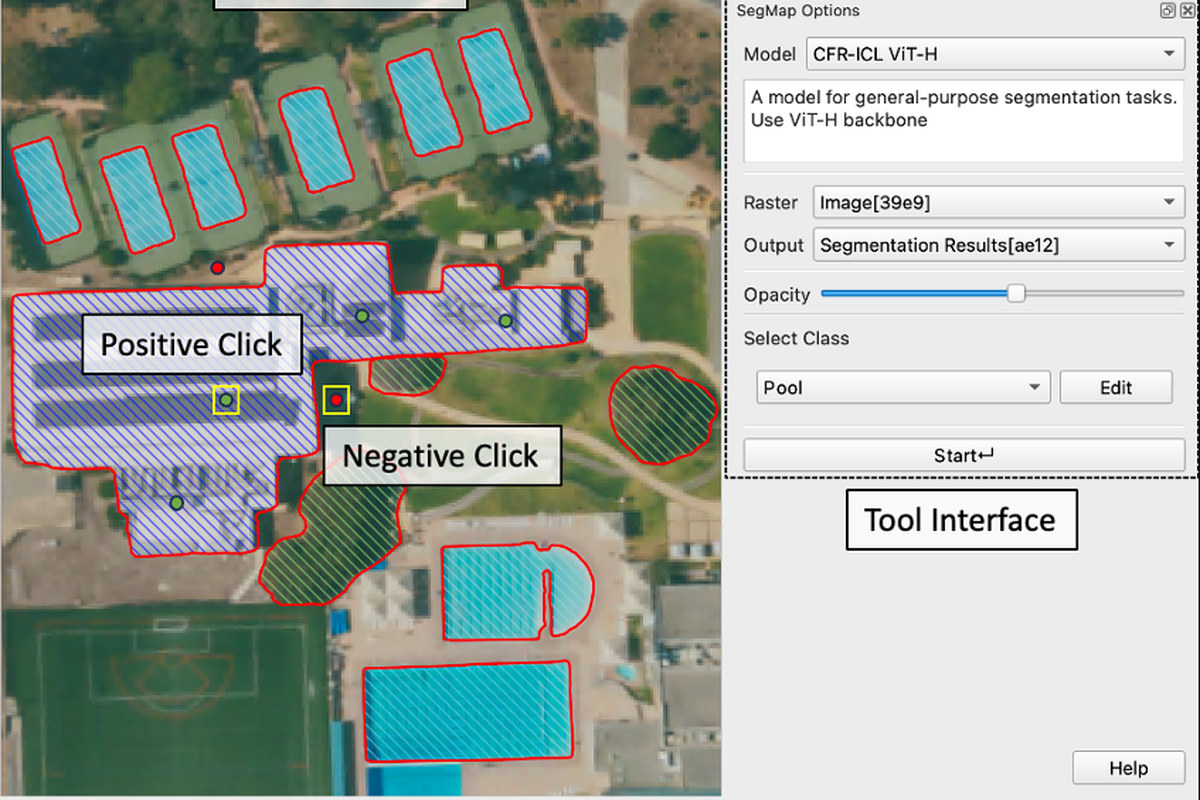
Auto-IS and SegMap: AI-assisted annotation platforms
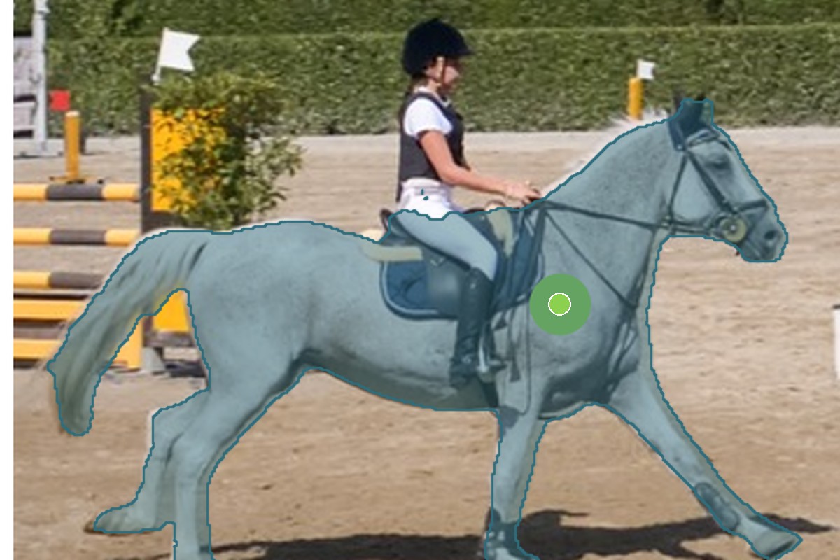
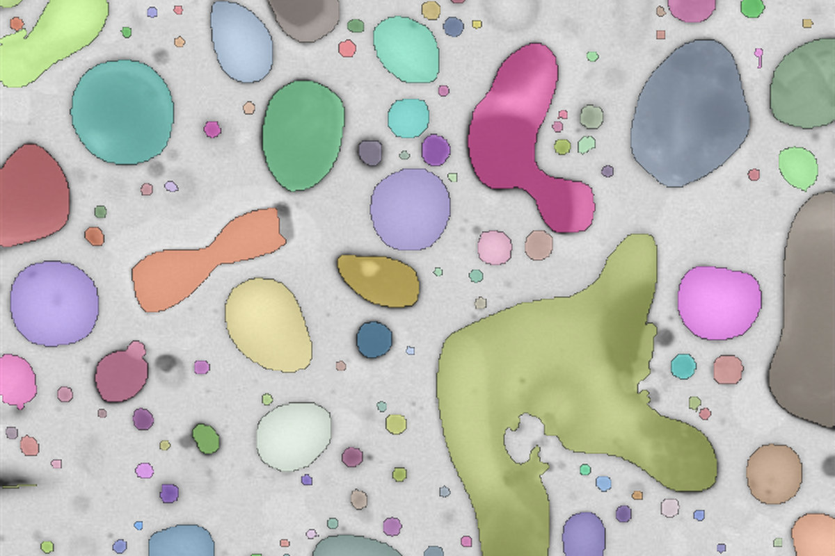
Two annotation platforms built around my interactive-segmentation models, so that scientists label their own data with a few clicks instead of tracing outlines: Auto-IS for general imagery, with AI-assisted labelling, incremental training and group collaboration, and SegMap for remote sensing, as a QGIS plugin and a web app. In routine use at Idaho National Laboratory, the University of Idaho, NCEAS (UC Santa Barbara) and The Nature Conservancy, they underpin 12+ interdisciplinary projects and cut data-preparation time by up to 90%.